How to - see your tracks on satellite view
Using GPSvisualizer
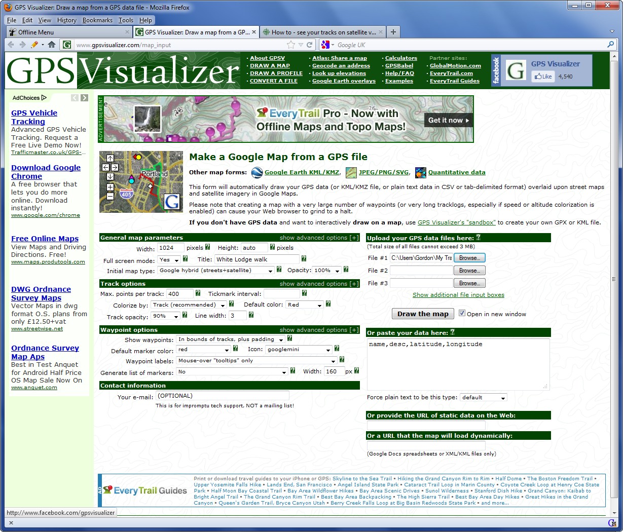
- Prepare a trackname.gpx file as described earlier and store it on your computer.
- Go to the GPSvisualizer website. www.gpsvisualizer.com
- Fill-in the data boxes and load your trackname.gpx file.

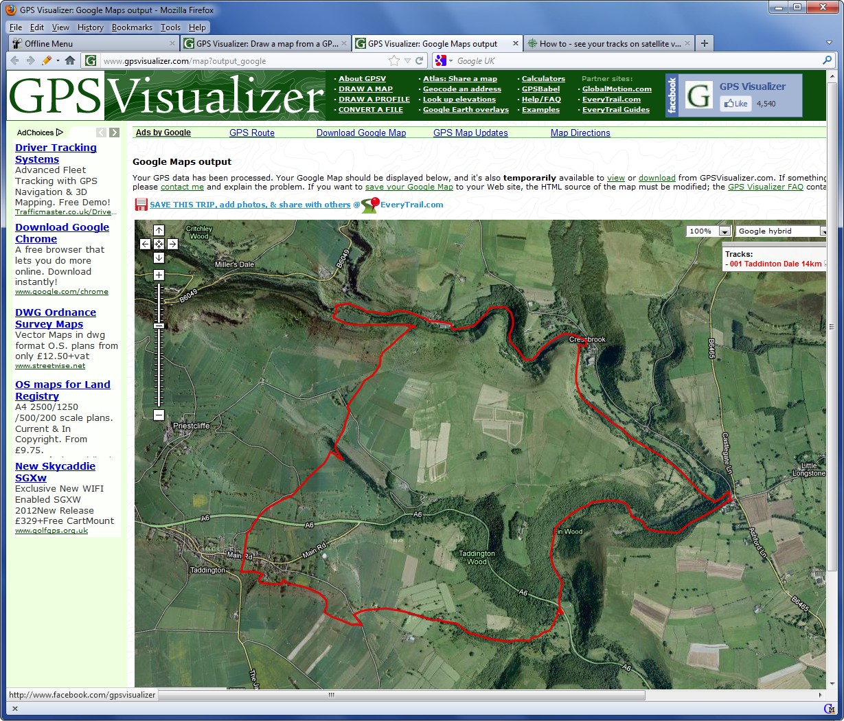
- Click to get the satellite map.

- Zoom using the controls and/or drag map with mouse.
- N.B. You can download a file of your track + map to your computer.
You can examine the stored copy again at any time.
- N.B. You cannot use your file on a website until Google has authorised it.
- Click here to get live version of map above. Then try zooming in!


|

