
www.rambler-info.org.uk - Ordnance Survey Grid-letters

The OS grid references (OSGB) use two letters as the start of any reference. e.g. SK474237. One might imagine that these have some simple geometric relationship.
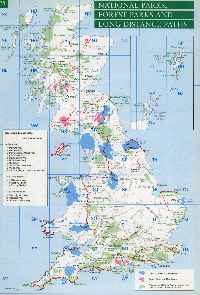
The Orkneys and Shetlands have references beginning with H. Scotland (sort of) has references beginning with N. Wales and much of England have references beginning with S. The East coast has references beginning with T, which start at the Channel and run as far north as Yorkshire. There is a logic if you know where to look!
If you want to include links from your web pages to maps in, for example streetmap.co.uk or multimap.com, then you are asked for an all-numeric input (British Grid). With a bit of trial and error I can work out that SK474237 needs to be entered as X=447400 and Y=323700, but where do the extra numbers come from?
Well, the Scilly Isles are the only land in OS square SV. If you treat this square as the origin of the system with X=0 and Y=0, then all of the other squares will have the correct relationship. If you need to convert an OS Grid Reference, then click here. Or, provided Ordnance Survey have not recently re-jigged their site, click here.
Tip If you are working from a map, then the numbers that correspond to the map location are printed as smaller prefix figures at each of the four corners of the Explorer and Landranger O/S maps.
| British Grid | X:528481 E | Y:179816 N | |
| OSGB | TQ2848179816 | ||
| N.B. The OSGB example is a 10-figure reference rather than the more common 6-figure reference | |||
If you would like to see how the Grid projection is defined, click here.
Nearly 100% of walkers are vague about what they mean when they give a 6-figure map reference. Most visualise the grid reference as a single point and they quote the value which is nearest to the place at which they want to point. Others say that a 6-figure reference should be a reference to a 100m square area and this area lies to the NE of the grid reference. Click here to see an example. Unfortunately there does not seem to be a preferred method.